
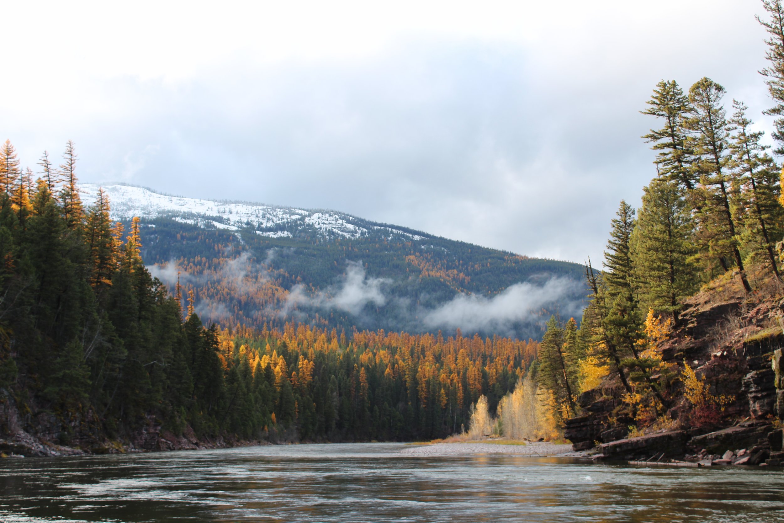
NORTH FORK OF THE FLATHEAD RIVER
N. Fork Flathead River at British Columbia
(USGS Monitoring location 12355000)
*North of the border the N. Fork of the Flathead River is referred to as Transboundary Flathead.
N. Fork Flathead River upstream of confluence with Middle Fork of Flathead River (Monitoring location 12355500) (NW River Forecast Center FCFM8)
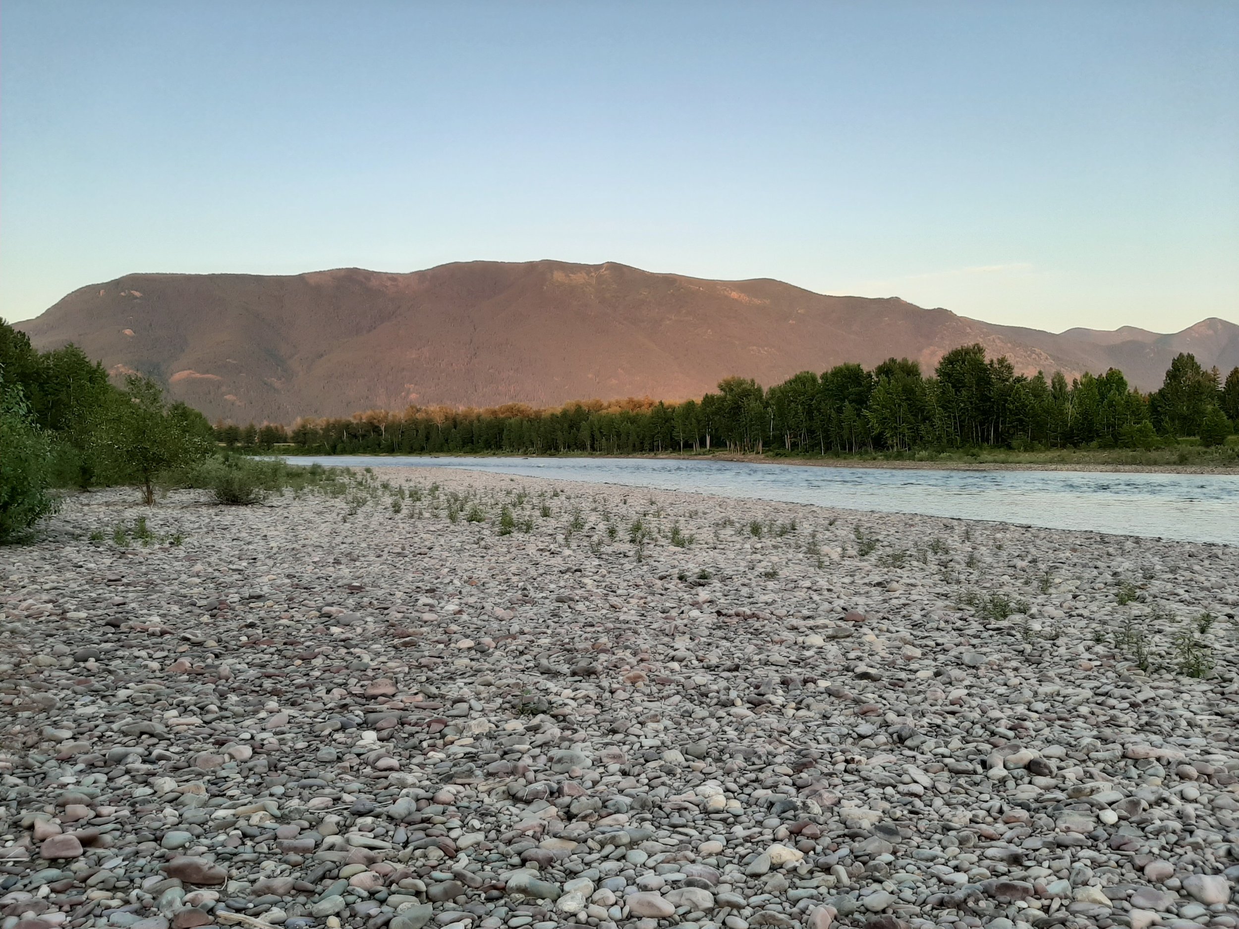
SOUTH FORK OF THE FLATHEAD RIVER
S. Fork Flathead River Twin Creek above Hungry Horse Reservoir
(Monitoring location 12359800) (NW River Forecast Center TNCM8)
S. Fork Flathead River below Hungry Horse Reservoir
(Monitoring location 12362500) (NW River Forecast Center SFCM8)

MIDDLE FORK OF THE FLATHEAD RIVER
Middle Fork Flathead River near West Glacier
(USGS Monitoring location 12358500) (NW River Forecast Center WGCM8)
FLATHEAD RIVER MAIN STEM
Flathead River at Columbia Falls
(Monitoring location 12363000) (NW River Forecast Center CFMM8)